
Researchers from the Finnish Meteorological Institute participated in two studies that made progress in the use of remote sensing observations in terrestrial carbon cycle models.
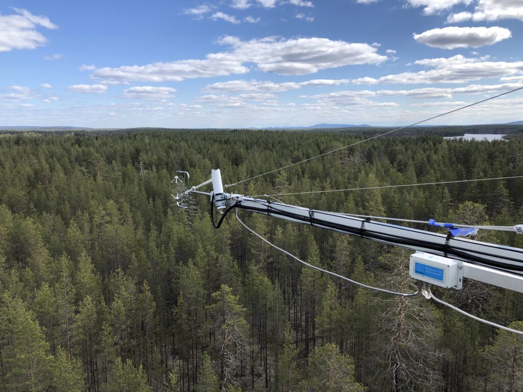
In the first study a model called D&B was developed, which can use satellite observations directly in data assimilation to infer carbon pools and fluxes. This study was a collaboration between experimentalists, modellers and remote sensing researchers. Sodankylä was one of the two experimental sites used to evaluate the model.
In another study a terrestrial biosphere model QUINCY, including nutrient (nitrogen and phosphorus) as well as water and energy cycles, was used to study carbon cycle in a Canadian deciduous forest over a period of 20 years. This model includes a description of leaf chlorophyll, which is a variable that can also be observed from space.
Read more: https://en.ilmatieteenlaitos.fi/news/3GISl1VHbavTVjfphk7axa